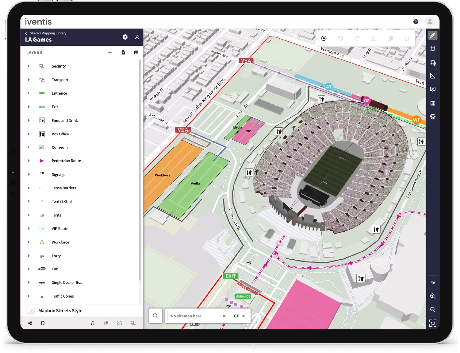
You can now add predefined project attributes to multiple layers at the same time. This will save you from having to add multiple attributes individually to each layer.

A fill pattern can now be viewed in your AutoCAD drawing to represent hatching for different layers and objects. These will be imported from your original CAD plan and be integrated into Iventis when we upload your file.
Confirmation when deleting a group
A new confirmation prompt now appears when you try to delete a layer from a selected group. This will help you to avoid deleting multiple important layers and objects!

"Iventis helped us to provide a solution-led, end to end service for organisers of The Game Fair from CAD drawings and live operational planning to a visual sales tool that helped mark out the site on the ground."

“We were happy to team up with such a renowned company as Iventis which significantly supported our team in their planning and delivery. The system was used across several functional areas to develop plans and co-ordinate our efforts in the run up to the event.”

