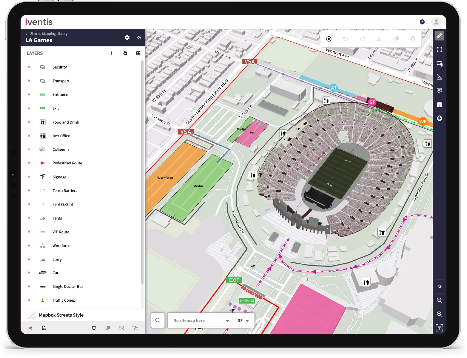
Any duplicate or unused project attributes can now be deleted, provided they aren’t used in other plans. This will help to declutter data, making it easier to quickly add attributes to your layers.

Users can now view the level at which an object was created in an attribute table.

External users viewing a plan via a shared link can now view imported layers.

Whenever you export or download files, or comment on a plan, a notification will now conveniently appear in the form of bell icon in the top right-hand corner, keeping you informed of your activities.

When copying or unlinking a layer, you can now choose to keep the permissions. Making it easier for you to retain the same access rights across any layer that you duplicate or unlink.
Enhanced Support for Non-English Characters
The Iventis Planner now seamlessly supports project names with non-English characters, including accents, diacritics, and symbols.
Faster Map Loading Speed
Maps now load quicker, enhancing performance when drafting, exporting, drawing, and editing plans.
“We were happy to team up with such a renowned company as Iventis which significantly supported our team in their planning and delivery. The system was used across several functional areas to develop plans and co-ordinate our efforts in the run up to the event.”

"Iventis helped us to provide a solution-led, end to end service for organisers of The Game Fair from CAD drawings and live operational planning to a visual sales tool that helped mark out the site on the ground."

