An improvement to our commenting feature now allows users to add images as comments. The images can be up to 15MB and will show in the tab for all comments. Additionally, the images can be viewed in isolation or full screen.
The minimum value for model and line model scaling has been extended to 0.01 (previously 0.1). This means that larger or medium-sized models will be able to scale down by up to 10x more.
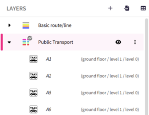
Every map object is now ordered alphabetically within its layer category, instead of chronologically. As new objects are created or renamed, they will automatically be ordered accordingly.

Mobile and tablet users will now find they can navigate to their current location on a map. This feature is also available on desktop devices with location permissions enabled.
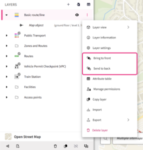
Users can now change the order in which layers are displayed in the plan. By clicking on the ‘More’ icon for a layer, users can choose to bring a layer to the front or send to back. This helps users to visualise plan layers in the most informative way for them.
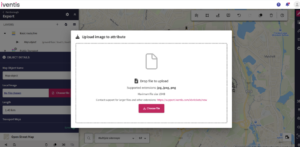
The maximum size of images uploaded to image attributes has been increased to 15MB.
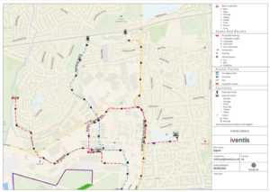
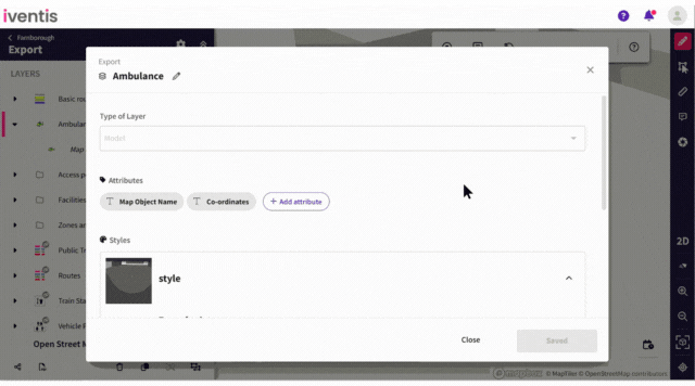
When exporting a plan as a PDF, the legend can now display data-driven styling. This means that all list attributes associated with a layer will be displayed, helping users to clearly recognise and understand the object in question. The legend will show the list item name as well as the corresponding colour, model or icon related to that list item.
The maximum value for model and line model scaling has been increased to 10x. Previously capped at 3x, users can now further scale their models.
“We were happy to team up with such a renowned company as Iventis which significantly supported our team in their planning and delivery. The system was used across several functional areas to develop plans and co-ordinate our efforts in the run up to the event.”

"Iventis helped us to provide a solution-led, end to end service for organisers of The Game Fair from CAD drawings and live operational planning to a visual sales tool that helped mark out the site on the ground."