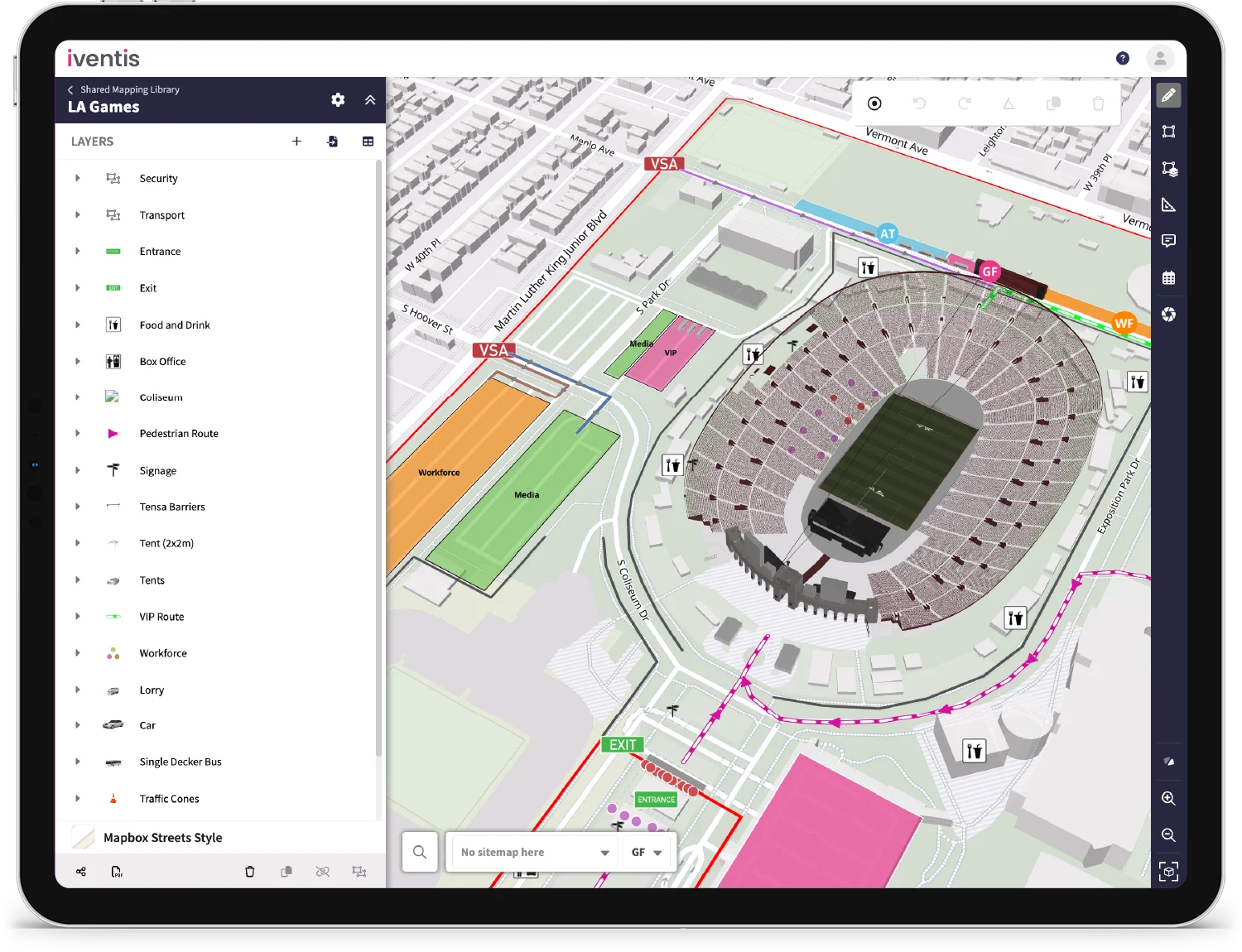
Iventis can now support highly detailed terrain models from a variety of sources. These provide a high degree of topographical accuracy when planning. Iventis can provide data from different providers, or incorporate custom survey data. Speak to support for more info (support@iventis.com).

